Orthomosaic Imaging & Land Analysis
Orthomosaic Imaging & Land Analysis
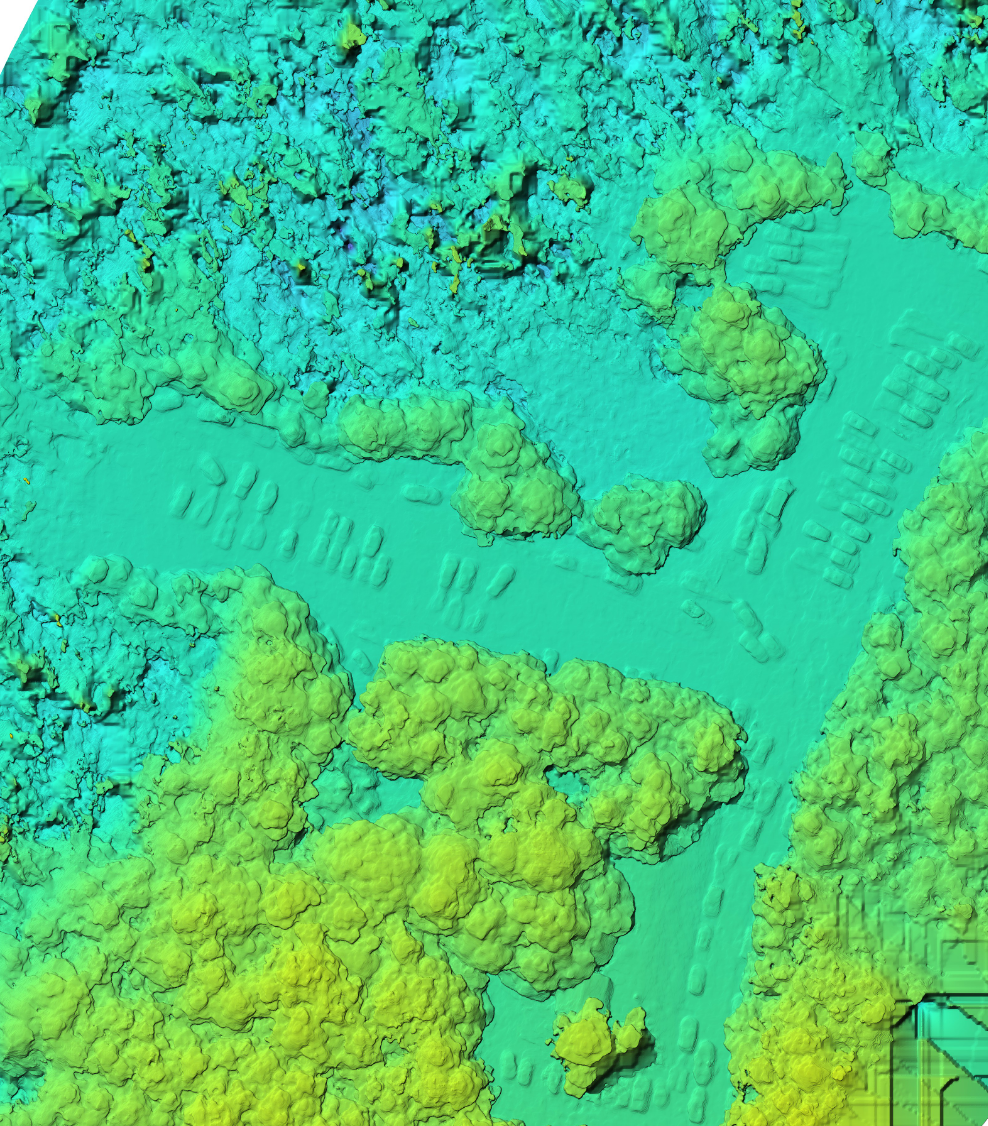
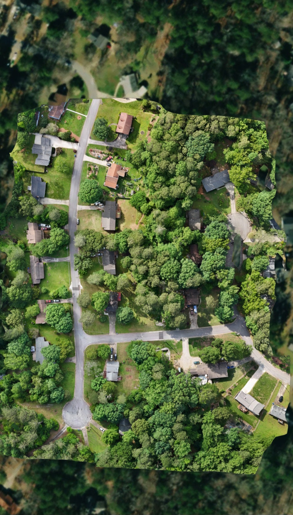
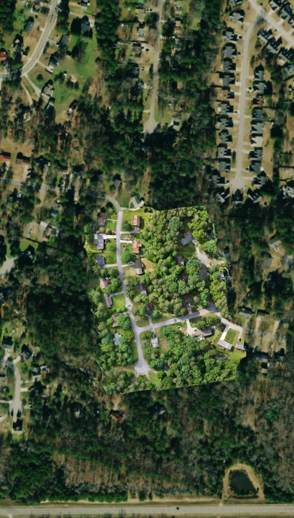
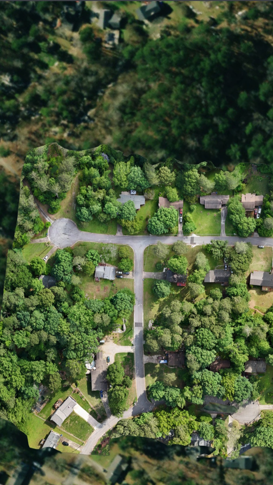
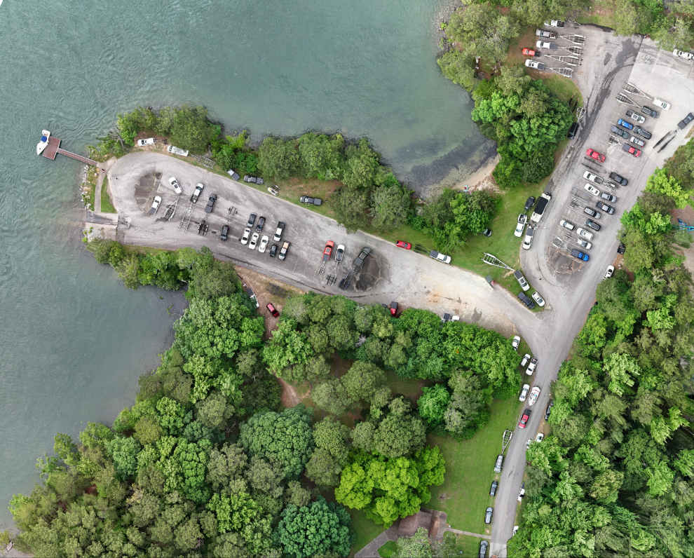
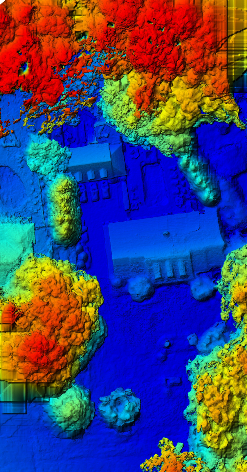
Elevate your site management and planning with our advanced Aerial Ortho-Capture & Land Analysis service. Utilizing cutting-edge drone technology, we provide comprehensive orthophoto stitching and terrain analysis to deliver high-resolution aerial imagery and detailed topographical data. Our service is tailored to meet the needs of developers, environmental consultants, and urban planners.
Key Benefits:
Precision Imagery: Achieve unparalleled accuracy in land imaging through our orthophoto synthesis, perfect for detailed site planning and development.
Enhanced Analysis: Utilize our analytical expertise to interpret complex land features and assess potential developments or environmental impacts.
Scalable Solutions: From small residential projects to large commercial developments, our services scale to meet your specific requirements.
Transform your project's planning phase with our professional aerial insights. Contact us today to schedule a capture and start your journey towards more informed land management.
Share

